EPSB's Milestone
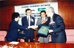
Smart Partnership, 1998:
Setting-up of joint-venture company between Equarater Sdn Bhd (ESB) and Penang Development Corporation (PDC)
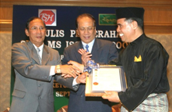
Quality System Achievement, 2004:
Prestigious MS ISO 9001:2000
Accreditation from SIRIM
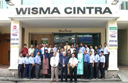
Sutra D’ Bank, 2004:
A “One-Stop-Centre” for Underground Utility Networks Information25
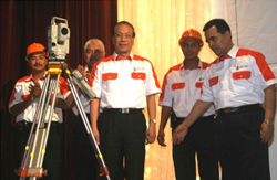
The Workforce:
The Team of Qualified Professionals to Serve our Valuable Customers
UNDERGROUND UTILITY SURVEYING
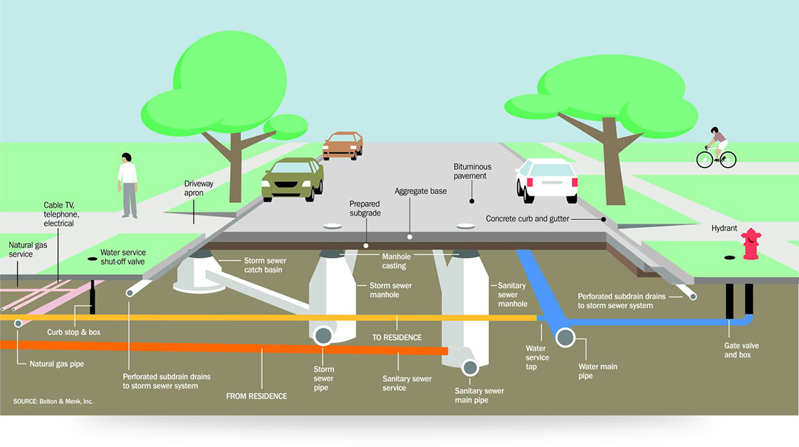
TYPES OF SERVICES
Trenching Route Investigation & Planning
Preparation of a detail Traffic Management Plan and proper implementation of measures identified in the approved plan is essential to ensure the safety of all road users as well as the workers at site. It would also assure the smooth operation of the road network as well as the work site.
Trenching Route Investigation & Planning
- Detect all underground services under specified areas.
- Utility information with attribute information, i.e. voltages, diameters, material types, etc are collected.
- Utility survey is related to X, Y and Z co-ordinates which will enable to remark (stakeout) the exact position of the services even if all landmarks are demolished.
- Construction of survey grid by traversing and using GPS.
Contains information on drainage (depth, width & elevation), road pavement networks, manhole/valve cover positions, fire-hydrants, electric/telephone poles, fences and boundaries of specific estate inclusive of lot numbers.
- Protect pipelines internally to maintain water flow and pressure whilst preventing contamination of the water supply. Protect against external corrosion, eliminating wall loss and preventing leaks.
- Internal pipe lining materials that maintain water purity, flow and pressure whilst preventing the accumulation of deposits. External pipeline materials offering supreme protection. Metal repair and patch repair compounds to stop leaks and rebuild wall loss.
- Non-revenue water (NRW) is recognized as a major concern for water companies worldwide.
- Specialist in main water pipe leakage investigation.
- Undertaking projects to control NRW can be costly and time consuming. This method is relatively cost saving, requiring no permanent equipment installations, and can negate the need for costly companywide NRW reduction
Preparation of a detail Traffic Management Plan and proper implementation of measures identified in the approved plan is essential to ensure the safety of all road users as well as the workers at site. It would also assure the smooth operation of the road network as well as the work site.
SCOPE OF WORKS
GUARANTEES, ASSURANCES AND LIABILITIES
- To locate, pinpoint and provide the Client with information on buried services infrastructure.
- Use Global Positioning System and electronic survey total stations to construct a survey control point network, “grid”, in which the positions of all survey works and detected services will relate.
- All survey results will be in State’s Cassini co-ordinate system.
- Basemap survey, “cover layer” is carried out surveying positions of pavement edges, kerb lines and/or road edges, traffic dividers and valve/manhole covers.
- All services shall be located under the specified area.
- The conductive services i.e. cables & pipes will be located, pin pointed and traced using electromagnetic cable and pipe detection instruments and these positions are recorded in X, Y and Z co-ordinates on to a field datalogger for transfer to the computerised utility information database.
- Non-metallic services will be detected using, Ground Penetrating Radar (GPR) whenever soil conditions allow.
- Relating attribute data to the services, i.e. material type, diameter, number of ways and voltage will be logged and retained wherever and whenever possible will comply with MS 1759.
- QA procedures will be rigidly implemented prior to transfer of logged information to the data processing computer.
- The buried services will be colour coded for easy recognition.
- Will provide digital maps to clients, containing information on all underground services within the project area. Will also provide site instructions to clients at the commencement of excavation works under the project area.
- Will endeavour to maintain an estimated accuracy level of +/- 10 cm horizontally and +/- 10 % from the actual depth vertically of all buried services located up to 3 meters deep.
- Wherever possible, the works will be carried out during the daytime.
- However due to the traffic conditions, the detection and survey works are, where necessary, conducted at night between 6 pm to 6 am.
GUARANTEES, ASSURANCES AND LIABILITIES
- Will conduct its work as diligently and conscientiously as far as possible under prevailing circumstances.
- Using available electromagnetic techniques and equipment (electromagnetic cable & pipe detectors and GPR) at its disposal will endeavour to locate all buried PVC, asbestos, concrete, and other non-metallic services. Undertakes to advise the client of any problems it experiences or potential hazards it anticipates.
- As a general practice, the company will be liable for any damages to underground utilities due to the negligence of its staff. In this respect, the company shall endeavour to detect and locate all metallic and accessible non-metallic services.
- Detectable metallic services using electromagnetic cable and pipe detectors are conductive services i.e. iron and steel pipes (water, gas, sewer, oil) electric cables, copper telecommunication and control cables. Detectable non-metallic services are sewer- and drainpipes, accessible ducts (i.e. empty protection pipes for optic fibre and other cables) and other accessible underground objects.
- Services which are non-detectable using electromagnetic cable and pipe detectors are services made of non-conductive materials (i.e. AC, PVC, concrete) and which are not accessible due to existing pressure and/or content or lack of known entrance. These services will be detected using GPR wherever soil conditions allow. However the GPR has some limitations to locate small diameter (less than 150mm) utilities as well as utilities situated at depths over 3m.
- Will bear the costs of repairing damaged detectable services, which are not indicated in the maps issued to the client/contractor. The client/contractor performing trenching/excavation works shall arrange the repairing of damaged services upon consultation with the company
- Will not accept any liability to any damages caused to buried utility services which are indicated in the maps submitted to the client, by the client or their appointed contractor or by any other unauthorised third party, during or after completion of the project.